They took an Air National Guard C-130 from Albany, New York to Kangerlussuaq, Greenland and a second flight to Ilulissat, Greenland. Then they spent a week on the ground preparing thousands of pounds of gear and made three helicopter flights to shuttle it to a base camp on the Greenland ice sheet. Finally, it was time for Matt Covington, assistant professor of geosciences, and his colleagues to get to work. They’d come to collect data from deep within moulins, sinkholes in the ice that extend all the way to the bedrock, 600-meters (or 2,000 feet) or more deep.
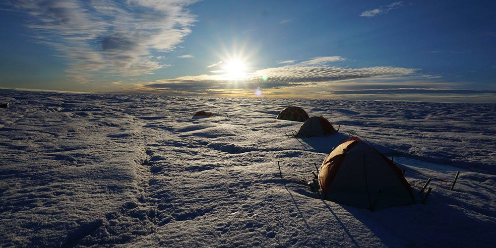
Then a storm hit the first night in the tents, dumping enough snow to obscure the landscape. It’s dangerous to walk on the Greenland ice sheet if you can’t see where you’re stepping – crevasses in the ice could swallow a hiker – so the crew was pinned down, waiting for the snow to melt and watching the summer research season slip away.
“Finally, after a week of waiting, enough snow had melted, and enough stir craziness accumulated, that we decided to conduct a first recon to attempt to locate the newly formed moulin that we had identified from the helicopter,” Covington wrote in a blog post about the trip.
A typical summer day on the Greenland ice sheet.
Not that the weather had become balmy; a typical summer day on the ice sheet means temperatures near freezing and winds howling at 20 to 40 miles per hour.
Covington, along with research assistant Adam Barnes from the University of Arkansas’ Center for Advanced Spatial Technology (CAST) and graduate student Celia Trunz, was in the first year of three-year, $691,000 National Science Foundation-funded study, in collaboration with Jason Gulley from the University of South Florida, to investigate the relationship between meltwater and glacial movement. They want to know if water pouring down moulins speeds up the ice sheet’s march to the sea. If enough water accumulates at the bottom of a glacier, the resulting pressure could facilitate ice movement the way a melting ice cube slides along a hard surface. On the other hand, if the meltwater is quickly channeled to the ocean it may not be a factor in ice motion.

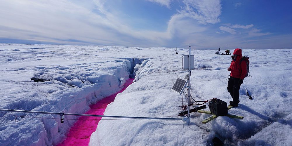
Researchers monitor equipment that measures flow from a stream into a moulin. They added a harmless dye to facilitate tracking the water as it flows through the glacier.
The idea that meltwater speeds up ice motion is referred to as the Zwally effect, named after NASA scientist H. Jay Zwally who used GPS to correlate the summer melt season and ice speed. Meltwater is known to speed up ice movement in alpine glaciers where the ice is thinner, but does it play a role with ice sheets as thick as Greenland’s? To help answer the question, Covington and his colleagues established two camps. At each, they dropped transducers into moulins to measure water pressure. They also set up GPS equipment to monitor ice movement and instruments to measure meltwater flow from the streams that feed moulins. They spent about a month on the ice gathering data last summer, and will visit again next summer to check equipment left behind over the winter and gather additional data.
What they find could help scientists make accurate predictions about sea level rise due to global warming. Greenland’s ice sheet is the second largest ice body in the world and holds vast quantities of water. How fast it melts has a direct impact on sea levels.
“If you melted all of Greenland’s glaciers, sea levels would rise by 20 feet,” Covington said. That’s not going to happen anytime soon, but if melting correlates to ice motion, which means more ice loss, that’s something scientists want to know. “After Zwally’s initial study, there was a little bit of the sky is falling kind of response,” Covington said. “However, how exactly this works on a big ice sheet is still a matter of debate.”

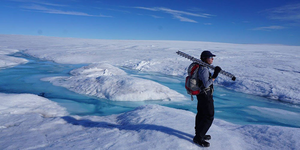
Graduate student Celia Trunz carries equipment that will be used to monitor stream flow.

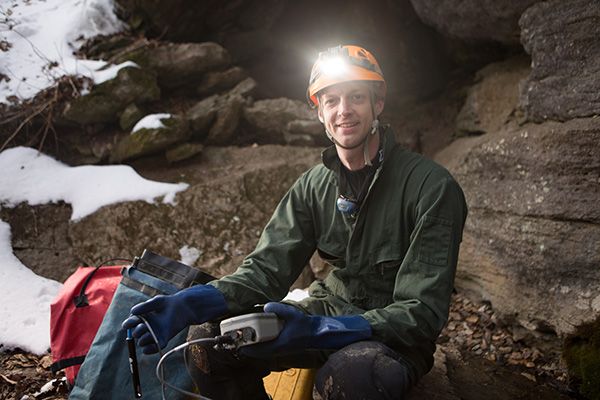
Matt Covington
Assistant professor, Department of Geosciences
Matt Covington studies hydrogeological and geomorphological processes using analytical models, simulations and field word. His research focuses on karst topography and combines a background in astrophysics with a lifelong interest in speleology. He writes about his work on his blog.


